Protecting S13's Green Belt together
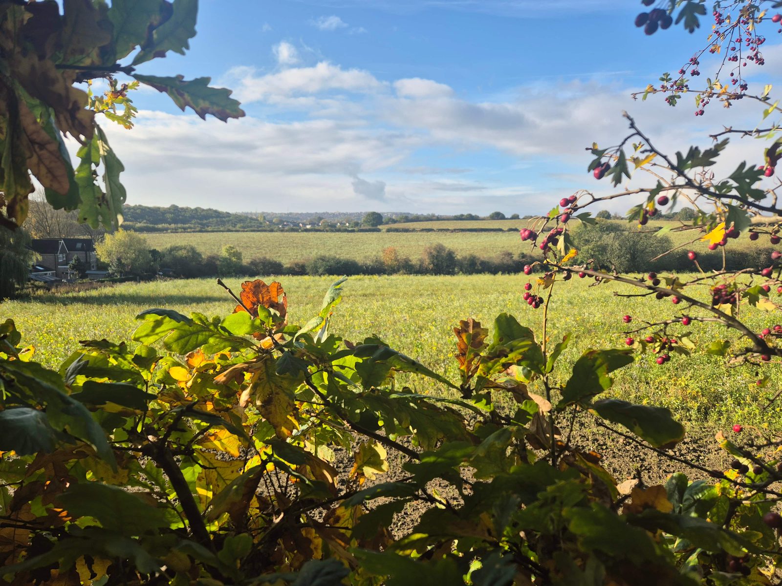
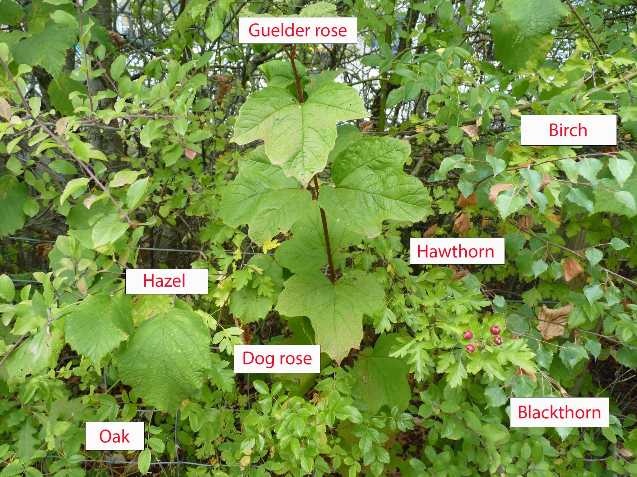
Photo: Steph Oliver-Beech, October 2025.
Two sites. Connected communities.
The proposals put 1,697 homes on two Green Belt sites in Handsworth, with employment land at Handsworth Hall Farm and land set aside for a school and burial ground at Bramley Common. The map shows where they sit in relation to our neighbourhoods and the neighbouring Waverley development.
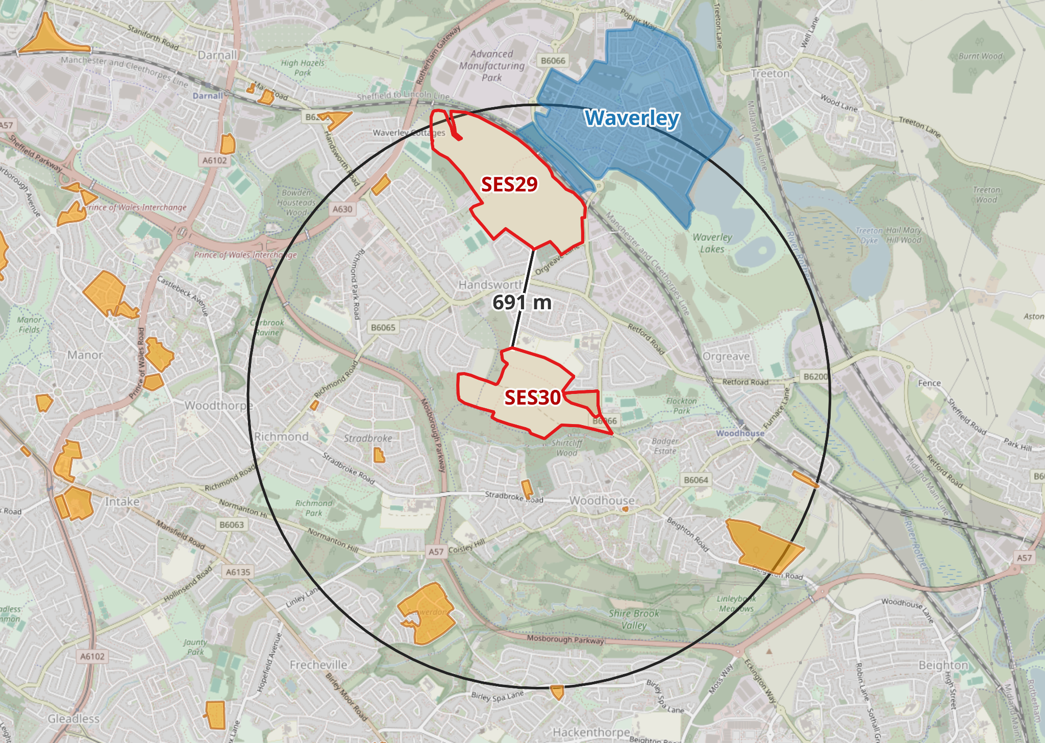
Background map © OpenStreetMap contributors.
-
Handsworth Hall Farm (SES29)
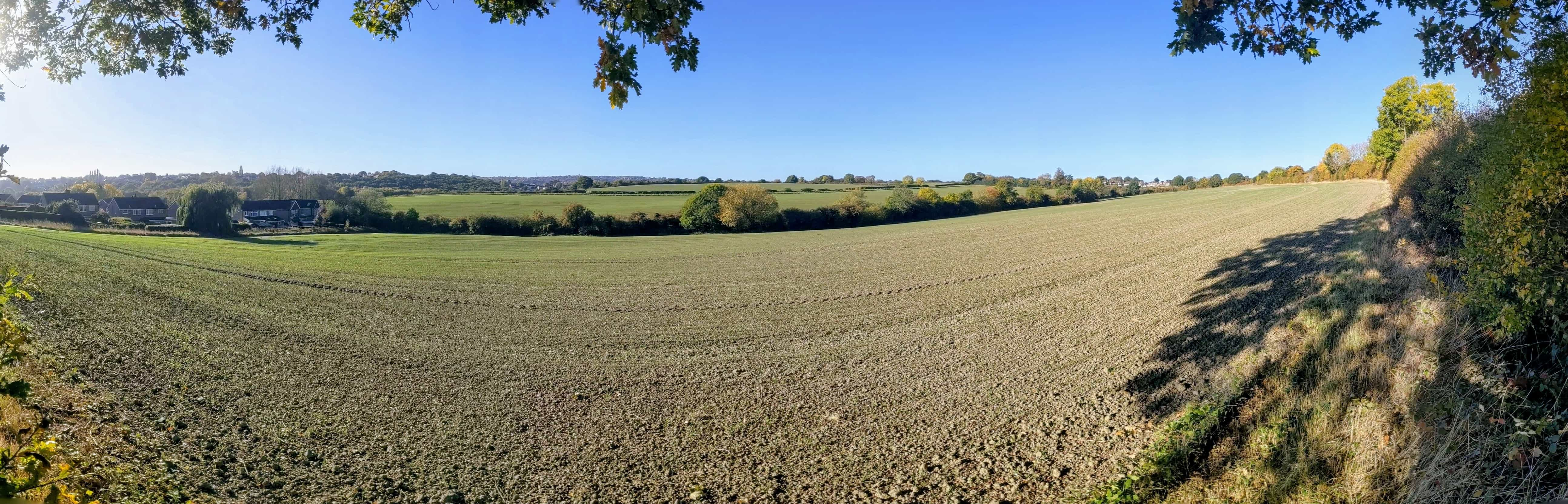
Farmland between Handsworth and Waverley, off Finchwell Road and Orgreave Lane. The proposed allocation includes 870 homes and 20 hectares of employment land.
-
Bramley Common (SES30)
The fields between Bramley Lane and Beaver Hill Road. The proposal is for 827 homes, with up to five hectares set aside for a secondary school and four for a burial ground.
These are proposed Local Plan allocations. Allocation does not itself grant planning permission. Figures are from the Main Modifications; the Council's July 2026 housing update (EXAM 187A, PDF) confirms the corrected SES30 figure of 827.
What we stand to lose
132.5 hectares: 73.5% of the Green Belt within the locally drawn area on our map is proposed for removal. See the map, figures and what this means for our wider campaign.
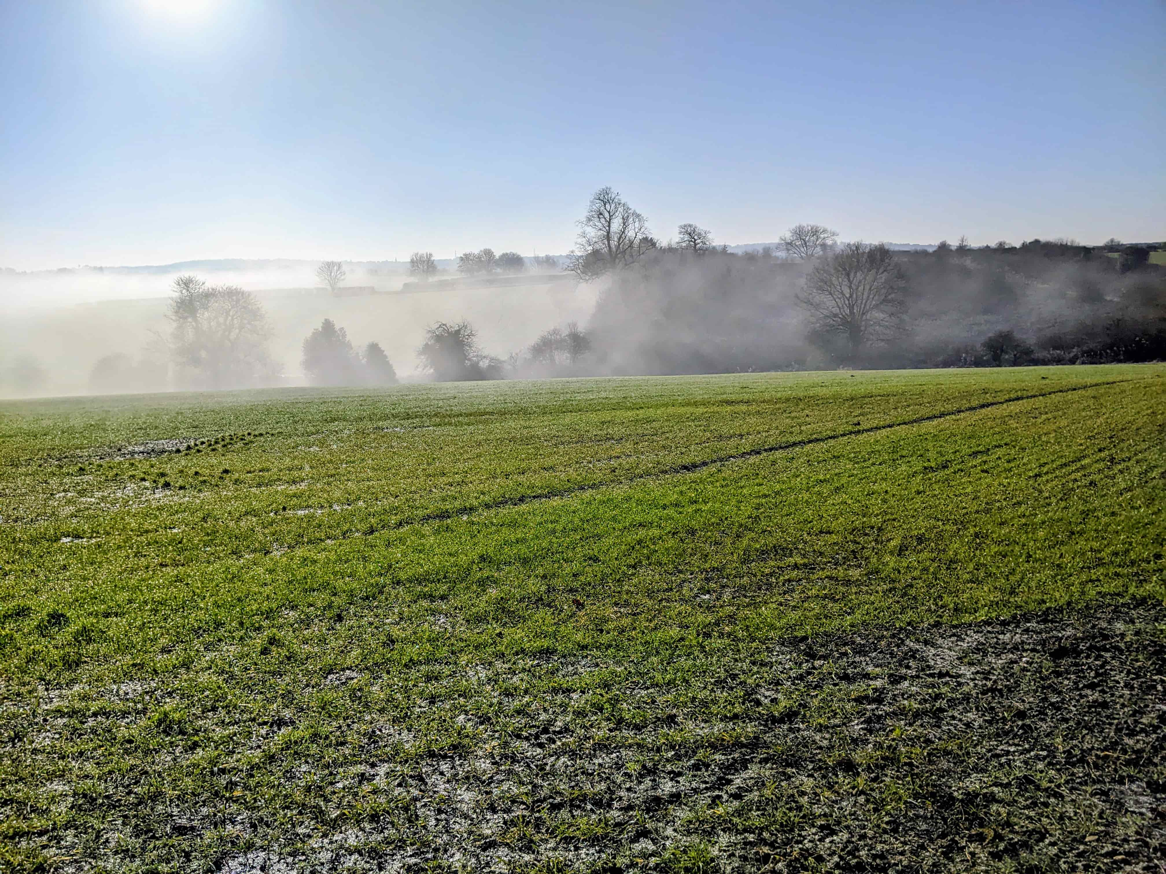
- Countryside on our doorstep. These fields help keep our neighbourhoods distinct. Handsworth Hall Farm lies in the remaining gap towards Rotherham; Bramley Common forms part of the open landscape between Handsworth and Woodhouse. Public and permissive paths give people a connection to this landscape.
- Habitats that connect. Hedgerows, veteran trees, watercourses and adjoining wildlife sites form a network across these places. Our site-capacities representation, Appendix F, draws on the Council's ecological evidence to identify 3.38 km of hedgerows and nine recorded veteran trees at Bramley Common.
- Productive land and local history. The Council's updated predictive farmland assessment places both sites in its higher-quality category. It still supports their allocation; we believe the value of this land deserves greater weight. Read the Council's assessment, EXAM 219 (PDF).
Can the claimed homes actually fit?
The impact on our communities must add up too
What we are asking for
- Protect these sites. Remove the Handsworth Hall Farm and Bramley Common allocations from the Plan and retain their Green Belt protection.
- Make the best use of suitable urban land. Properly assess brownfield opportunities and well-designed development in sustainable locations, including whether suitable sites can accommodate more homes. Our brownfield initiative invites people to help identify alternatives for assessment.
- Plan for the people who will live here. Deliver affordable homes alongside the transport, schools, healthcare and green space that existing and future residents need.
A campaign built by our community
Save S13 Green Belt brings residents together to gather evidence, support people taking part in consultations and make the case for our area. We work with communities across Sheffield through the Sheffield Green Belt Alliance.
We continue the campaign in memory of Sapphire McCarthy, who brought neighbours together and inspired this work. Our full campaign name is Save S13 Green Belt – The Sapphire McCarthy Campaign.

From the campaign's meeting photographs.
Putting the evidence in front of decision-makers
- May–July 2025: Campaign members and our planning consultants, James Bailey Planning Ltd, submitted representations to the original additional-site allocations consultation, which ran from 26 May to 11 July. Read a selection of the submissions.
- Autumn 2025: Campaign members attended the Stage 3 examination hearings on multiple days. We also kept residents informed through our newsletter. Read our hearing report and further campaign updates.
- May 2026: Examination representations on site capacities, brownfield land, infrastructure and other concerns, including professional planning advice.
- August 2026: A visit to both Handsworth sites with Council leaders, supported by briefings on the land and the local evidence.
- September 2026: The Alliance met Council leaders to discuss outstanding questions and next steps. Read the jointly agreed meeting notes.